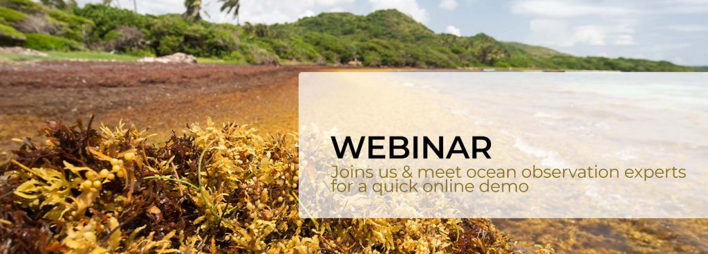
[WEBINAR] SAMtool: observing and predicting Sargassum landings in the Tropical Atlantic thanks to satellites
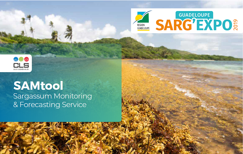
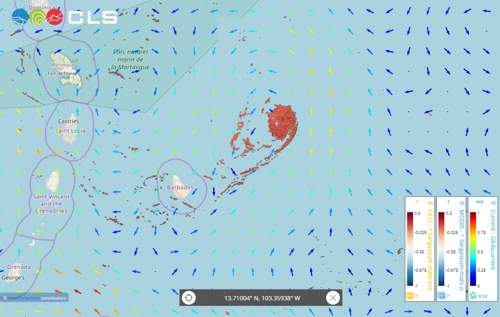
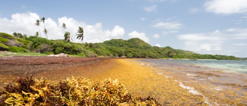
In the context of the seasonal Sargassum presence in the Caribbean area, CLS is happy to present progress on the SAMTOOL Sargassum project.
How does EUMETSAT measure ocean temperature?
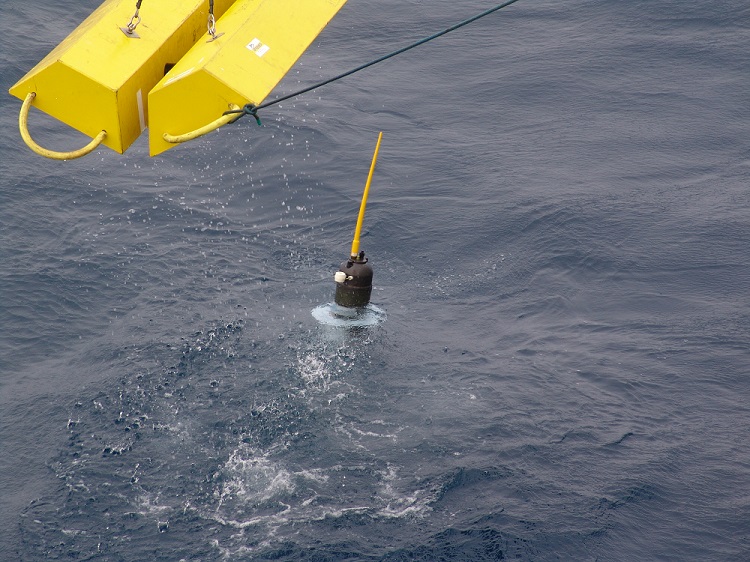
EUMETSAT and CLS are extending the TRUSTED programme of drifting buoys & measuring ocean temperatures using European satellites.
Monitoring Sargassum: Europe moves into operational mode
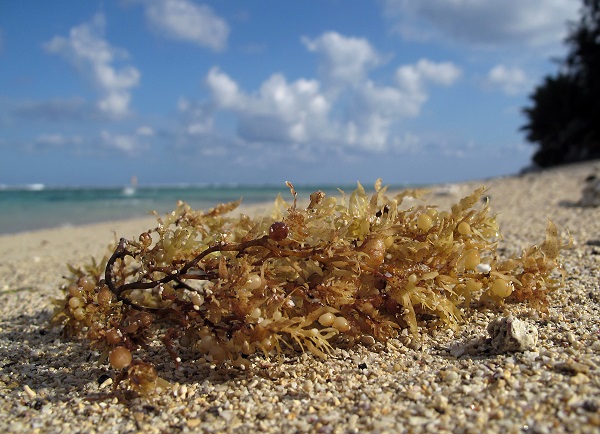
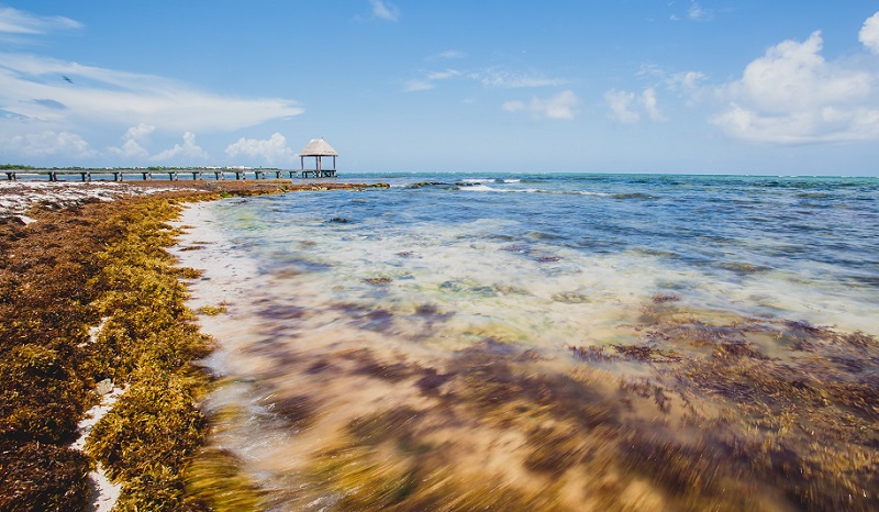
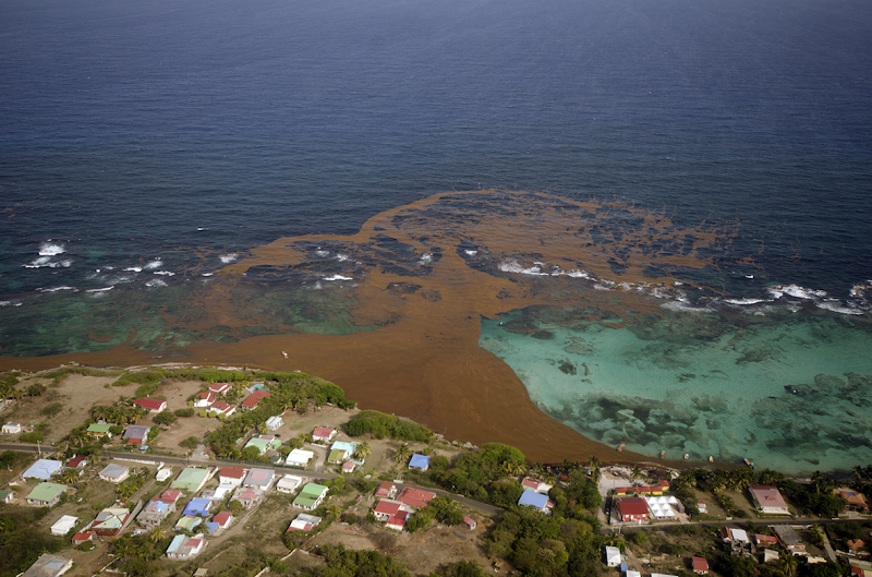
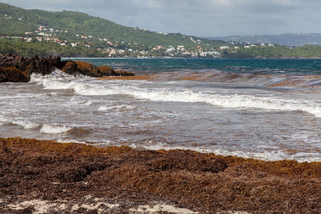
Sargassum seaweed is a scourge for health, fishing and the tourist economy in the Caribbean.
Locust invasion: EO helping farmers
CLS is helping local players to tackle locust damage using EO solutions. Focus on the European EO4SD – Protection of fragile states project.
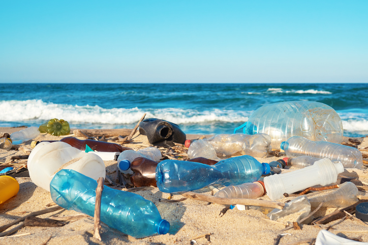
Plastic Pollution – Science to the Rescue
We met Marc Lucas, an oceanographer at CLS who has developed a method for analyzing plastic drifting in coastal environments.
EuroSea: A new EU project to gather more knowledge for a sustainable use of the ocean
Europe with its long coastlines, many peninsulas, marginal seas, gulfs and bays is closely interlocked with the ocean. In times
Measuring sea surface salinity with Europe’s SMOS satellite
Launched ten years ago, the SMOS mission was designed to map soil moisture and ocean salinity. This satellite mission provides
Sargassum monitored from space: A regional solution for the sargassum crisis
The Caribbean region has suffered intensely from the sargassum crisis. Economists estimate the cost of sargassum clean-up efforts at 120
Learn more about our satellite-based sargassum monitoring solution at Sarg’Expo
Since 2011, CLS has been working on an operational service using optical and radar satellite sensors to detect sargassum and
Improving sea level anomaly and absolute dynamic topography data sets
Sea level anomaly and absolute dynamic topography are important climate variables. CLS is proud to provide these data sets to
The yin and yang: Satellite and in-situ observations to monitor our oceans
For nearly 40 years, satellites have provided continuous observations of the world’s oceans – in time and in space –
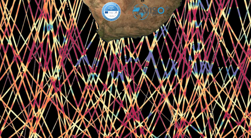
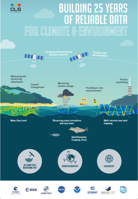
Celebrating 25 years of high quality, multi-mission altimetry Sea Level products
In 1997 the first homogeneous and user friendly Sea Level data set based on TP and ERS1 & 2 missions
Progress in global and regional sea level maps
CLS is proud to contribute key ocean data sets to Europe’s Copernicus Marine Environment Monitoring Service (CMEMS). One example is
Météo France chooses CLS with its partners I-sea and NBE to provide sargassum detection services in the French Antilles
As sargassum seaweed continue to invade Caribbean coastlines in 2019, Météo France has chosen CLS and its partners’ sargassum detection
CLS begins developments for oceanic drift models on NextGEOSS datahub
Many societal challenges listed in the UN Sustainable Development goals can be addressed by greater access to Earth Observations (EO)
Validating Sargassum forecasts with Sentinel-2 data
Since April 1st, a group of 40+ users have been testing the Sargassum detection and monitoring service developed by CLS
CLS drift model predicts sargassum landing in Dominican Republic
A sargassum landing was reported off the Malecón area of Santo Domingo in the Dominican Republic on May 17th. This
Monitoring a massive sargassum mat in the Atlantic Ocean
CLS has detected a massive sargassum mat using satellite sensors from European satellites Sentinel-3 and Sentinel-2 and U.S. satellites Aqua
A major week for international ocean initiatives
The week of March 24th-29th 2019 has been a week of major importance for international ocean initiatives. From Monaco’s Ocean
CLS Operational Sargassum Monitoring Service ready for end-users
Top of article, photo credit: Jean-Philippe Maréchal
CLS at 25 years of progress in radar altimetry
From September 24-29th, the international altimetry community meets in Ponta Delgada, São Miguel Island, Azores Archipelago, in Portugal for a triple
Monitoring typhoon Mangkhut from space
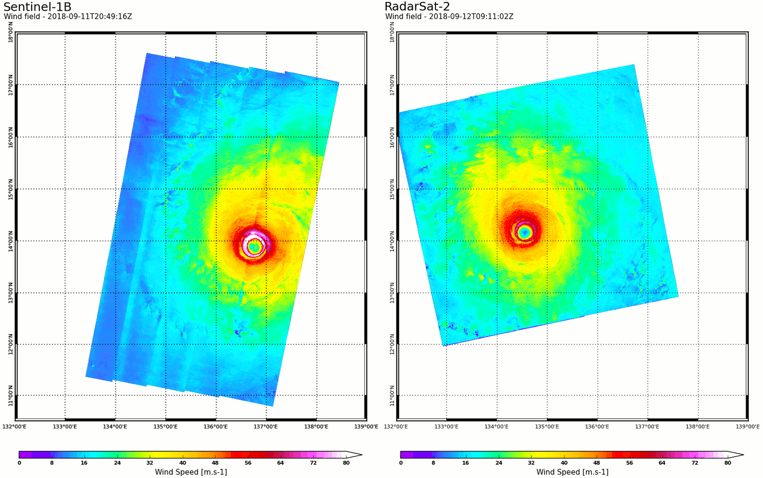
While super typhoon Mangkhut is heading towards southeast Asia threatening to make landfall, teams from IFREMER and CLS are monitoring
CLS wins contract with ESA to develop an operational Sargassum service in the Caribbean
In 2018, the consortium CLS-NovaBlue Environment (NBE) has been awarded a project with the European Space Agency, ESA, to implement
Kineis, a unique constellation
KINÉIS, new major player in French NewSpace, launches the first European constellation of nanosatellites and democratizes access to global connectivity
CLS contributes to World Meteorological Organization’s state of the climate report
Experts agree: 2017 is one the three warmest years on record in the past 200 years. Global ocean heat content
ODYSSEA, increasing use of Metoc and In Situ data supporting decision making
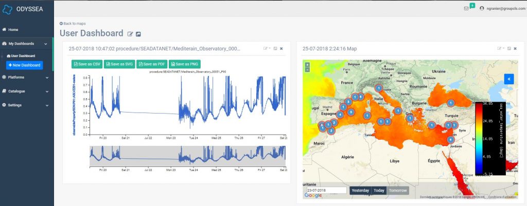
Since 26 July, all partners of the Odyssea project have access to the web platform. The first bricks were set
A new generation of surface drifters to calibrate satellite sensors
Continuous improvements in satellite sensor technology means that ever more advanced sensors are being loaded onto the latest generation of
Copernicus publishes Ocean Monitoring Indicators data for the last 25 years
The European organization Copernicus Marine Environment Monitoring Service (CMEMS), announces that Ocean Monitoring Indicators (OMIs), used to monitor the oceanic
ODYSSEA Project : integrated platform to observe the Mediterranean sea
The Odyssea project is a unique collaborative international project between all the countries with meditteranean coasts with 28 partners organizations
EO4Wildlife : a Platform for wildlife monitoring integrating Copernicus and ARGOS data
The fourth EO4wildlife Newsletter has just been released ! Read the last newsletter CLS is a partner of the European
New in the Datastore
What's new in the Datastore The catalogue is frequently updated with new datasets. Here are the latest datasets added, and
New in the Datastore
The catalogue is frequently updated with new datasets. Here are the latest datasets added (free and restricted access), and one coming soon.
NEXTGEOSS Summit June 22, 2017
NextGEOSS is the next generation of the Global Earth Observation System of Systems. The H2020 NextGEOSS project, a European contribution
Image of the Month
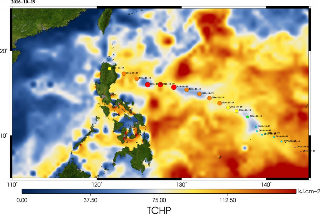
Typhoon Haima struck Philippines on Oct. 19, 2016. Typhoons (as they are called in the Western North Pacific), hurricanes (North Atlantic and Eastern
Successfull launch of Sentinel-3
With Sentinel-3, CLS plays the guardian of the water Tuesday, 16th of February, 2016, at 19h (UTC), the European satellite Sentinel-3
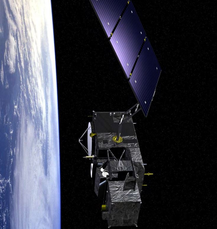
The SWOT satellite
The main objective of the Swot satellite, is to meet the need for hydrological and oceanographic data.
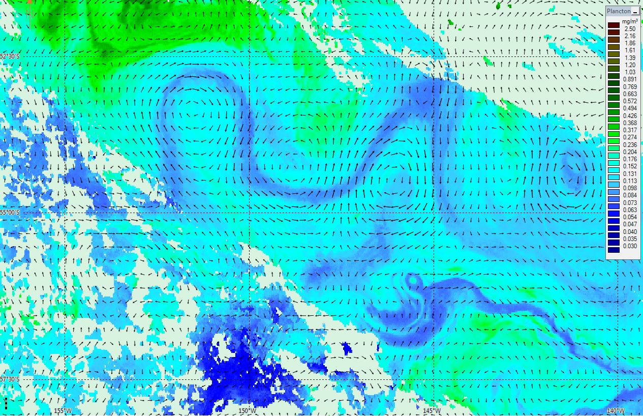
Chlorophyll in the South Pacific
This is the Chlorophyll content in the South Pacific on 2015/11/19 observed with the VIIRS instrument on-board Suomi NPP satellite.
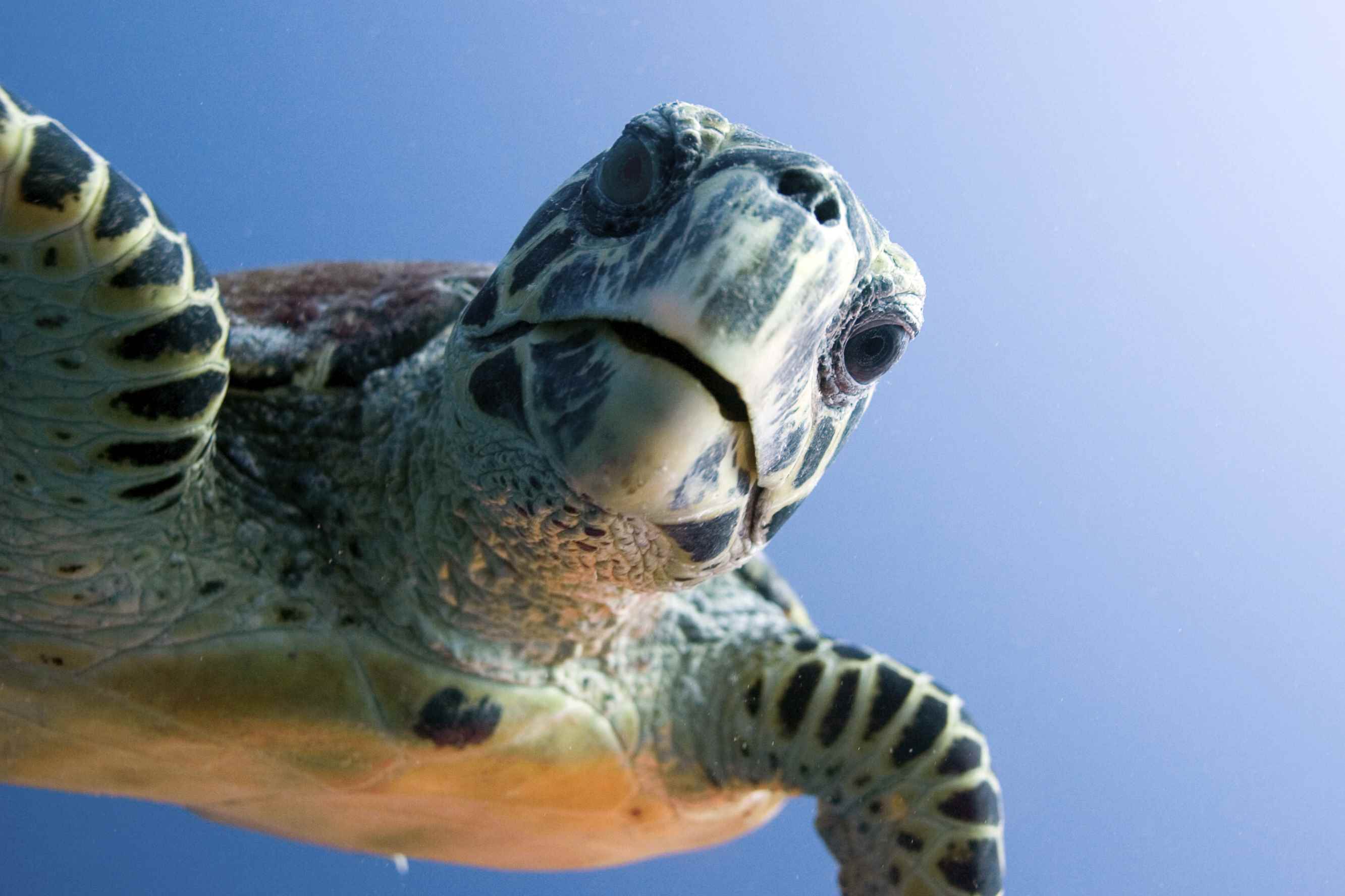
Sea turtle migration study
Dispersal and Diving Adjustments of the Green Turtle Chelonia mydas in Response to Dynamic Environmental Conditions during Post-Nesting Migration In
Indeso project, a case study
Infrastructure Development of space oceanography in Indonesia INDESO is a scientific program coordinated by CLS that aims at supplying to the


