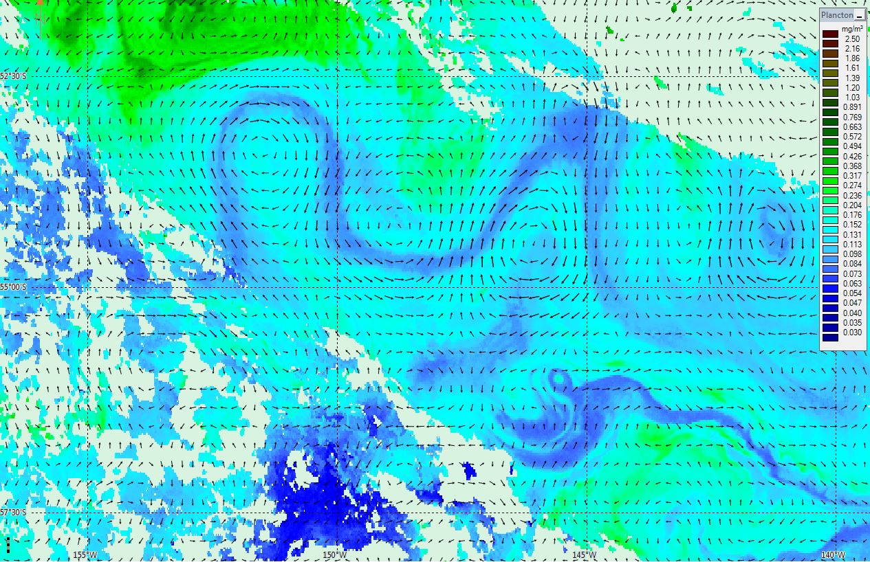
Chlorophyll in the South Pacific
- 9 February 2016
- Category: Images of the month

Image created by …
This is the Chlorophyll content (in mg/m3) in the South Pacific on 2015/11/19 observed with the VIIRS instrument on-board Suomi NPP satellite. It is an instantaneous map without any averaging. Lower values (in blue) around 0.07 mg/m3 reveal the flow of the current in this region. The eddies are clearly visible and correspond exactly to the geostrophic currents fields superimposed. Those are issued from the SSALTO/Duacs merged products (gridded map combining Jason-2, Saral/AltiKa, Cryosat-2, HY-2A altimetric satellite observations) for the same date.

