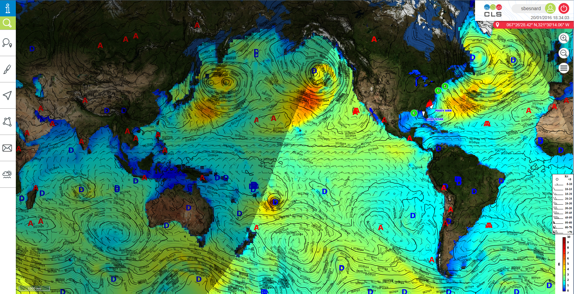
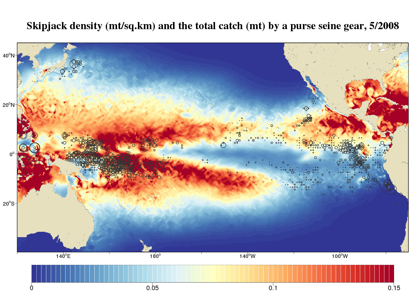
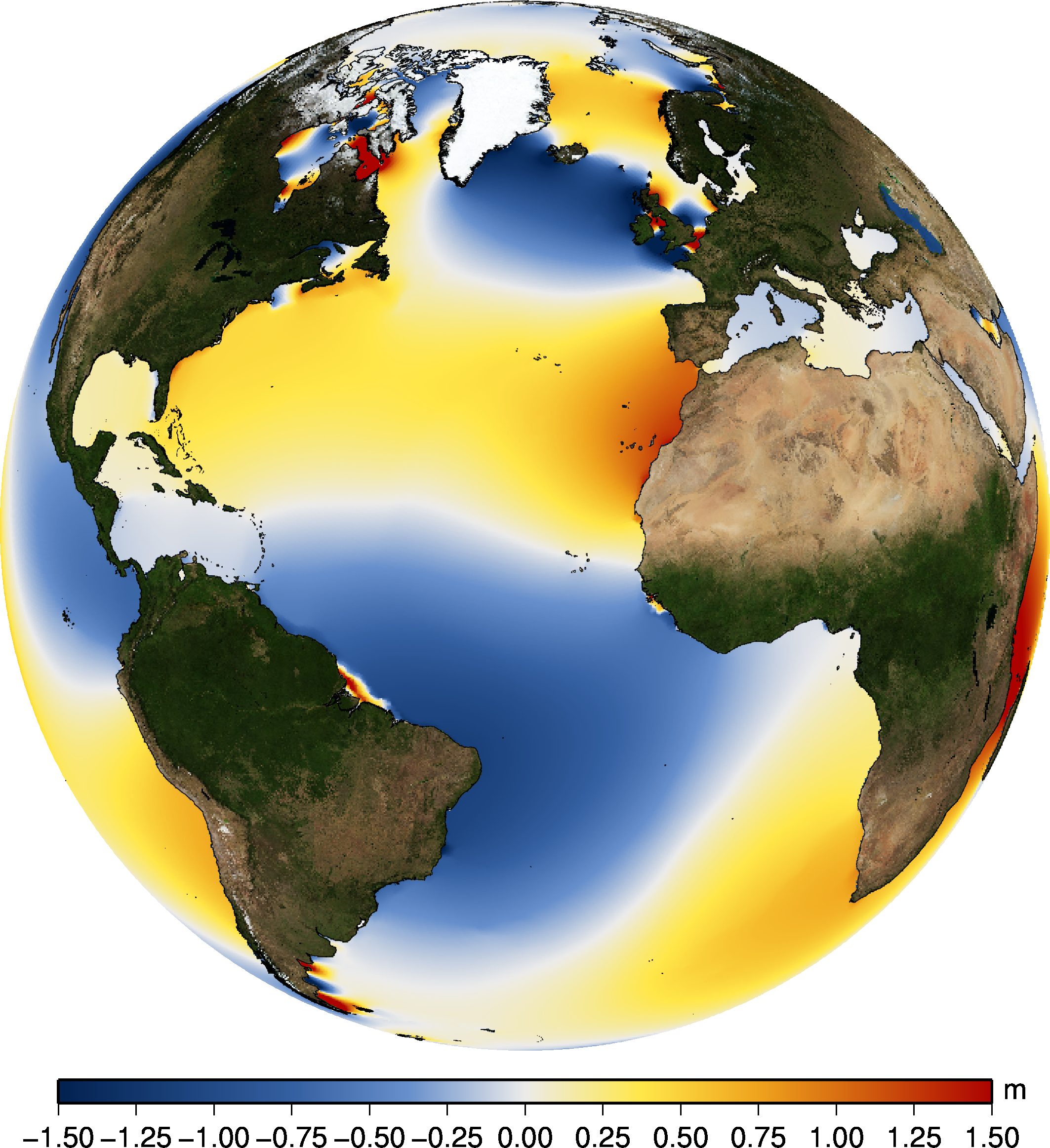
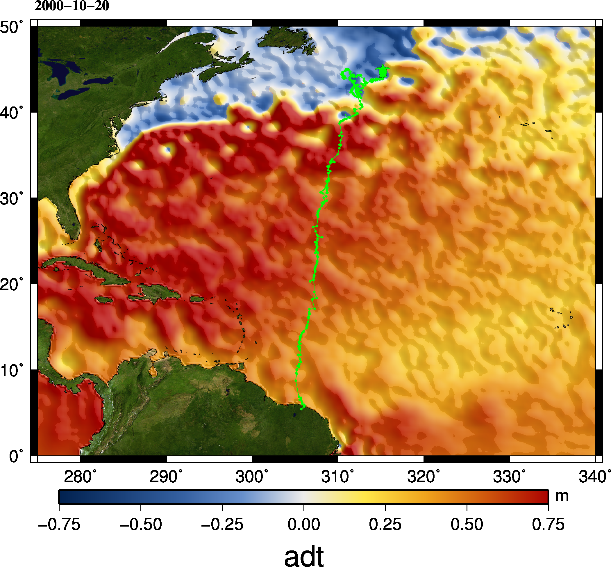
Since the launch of the Topex/Poseidon satellite mission in 1992, CLS has developed a strong expertise in satellite oceanography and related fields. CLS has relevant skills in Satellite Earth Observation and environmental modeling that make it a key player, working hand in hand with space agencies for the development of downstream marine applications.
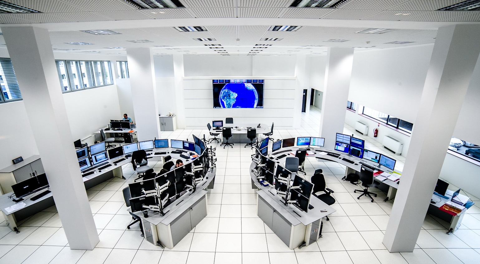
With more than 100 oceanographers on site, an infrastructure tailored for massive and operational data computations with a high level of service, a worldwide implantation giving an access to the public and private markets, CLS handles day-to-day oceanography, meteorology, marine biology, marine resources management, and hydrology services for our customers.
Operational oceanography
to deliver reliable information
CLS set-up a meteocean data dissemination hub including a wide variety of data in order to create more value-added products and services to better fit to our customers’ needs. Our customers work in the “blue economy”: shipping, maritime security, fishing, offshore energy, and other marine activities which are driven by reliable and up-to-date metocean data.
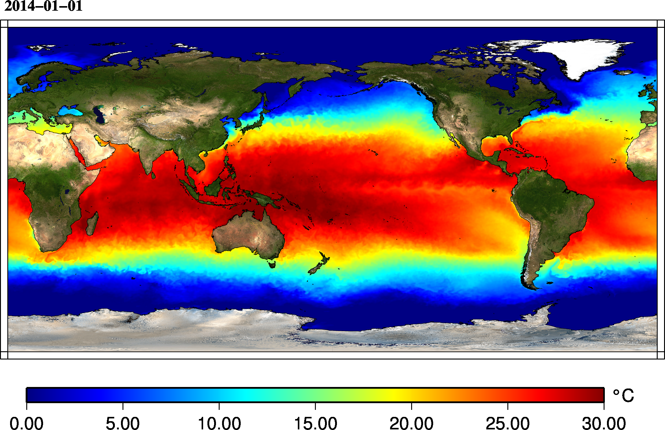
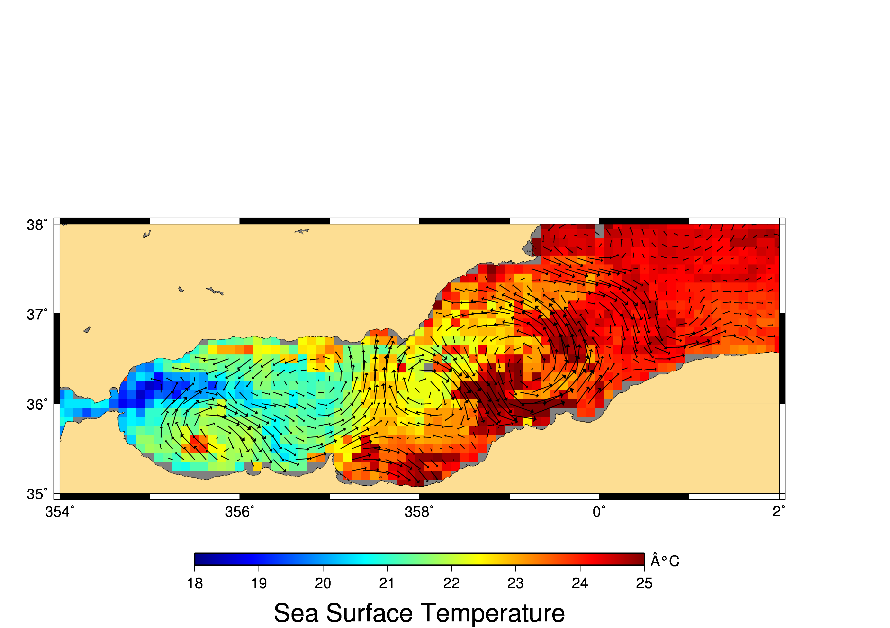
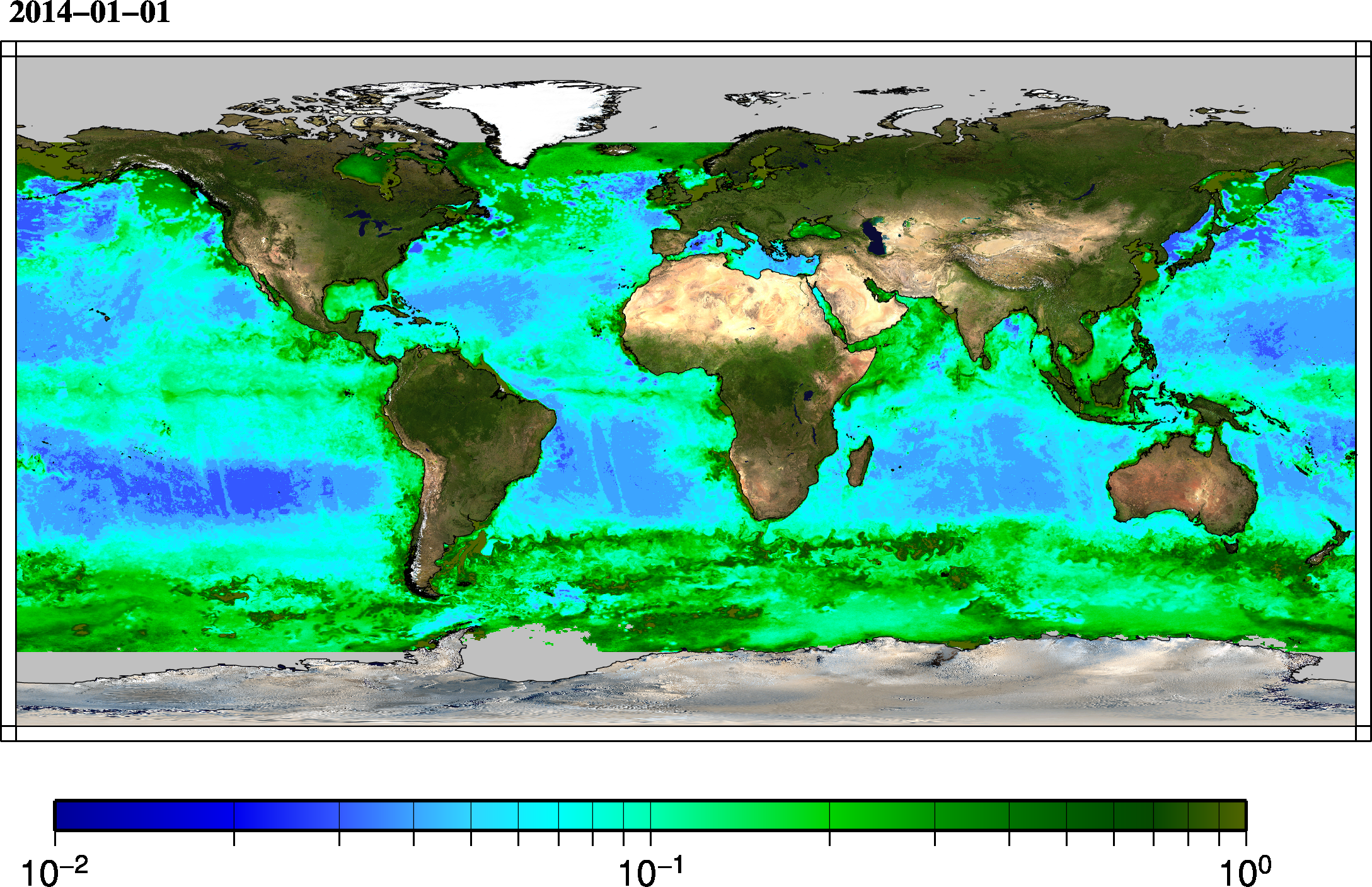
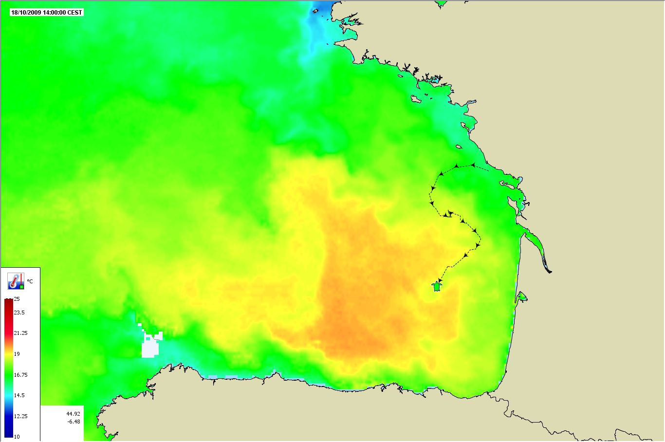
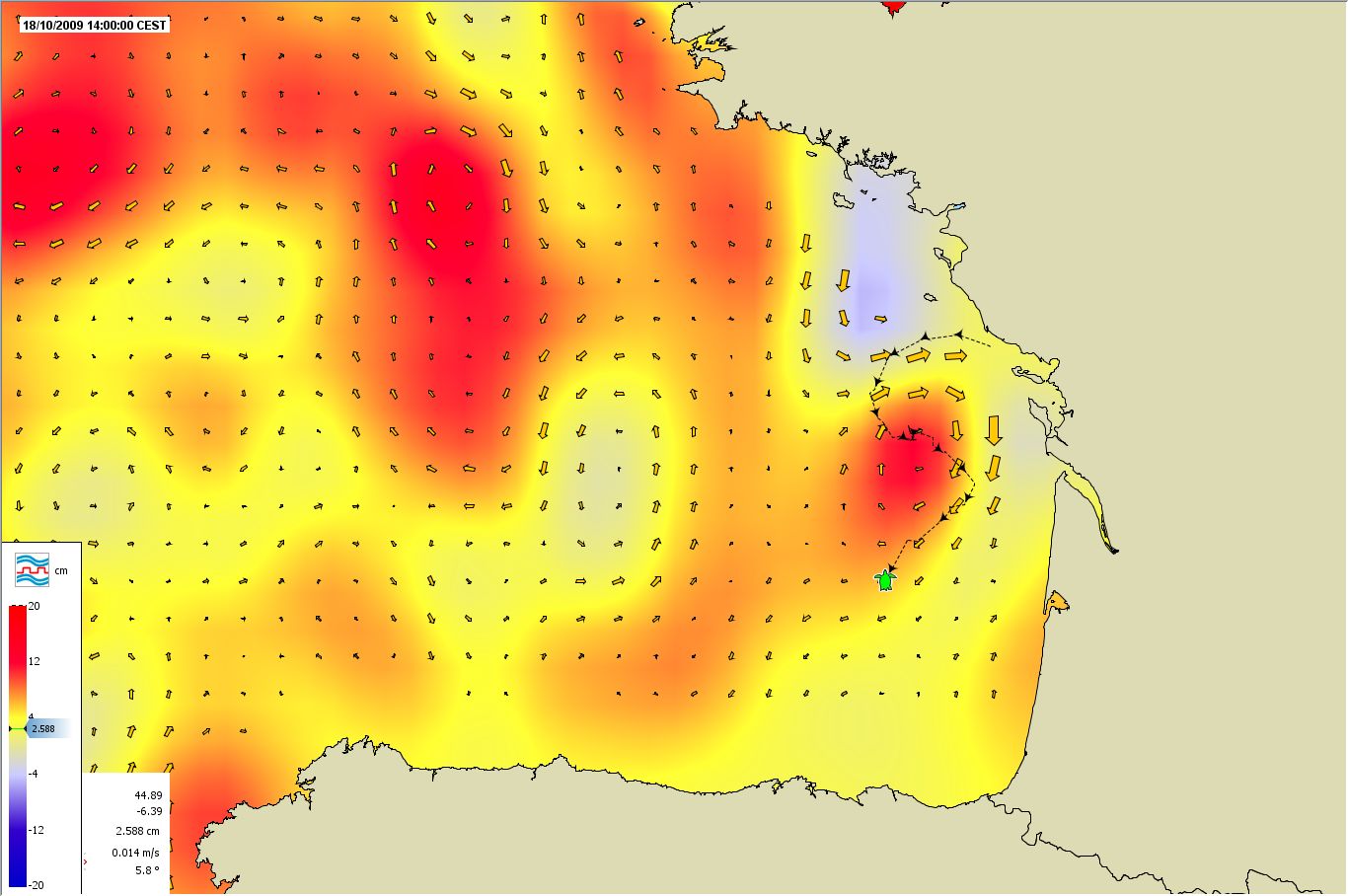
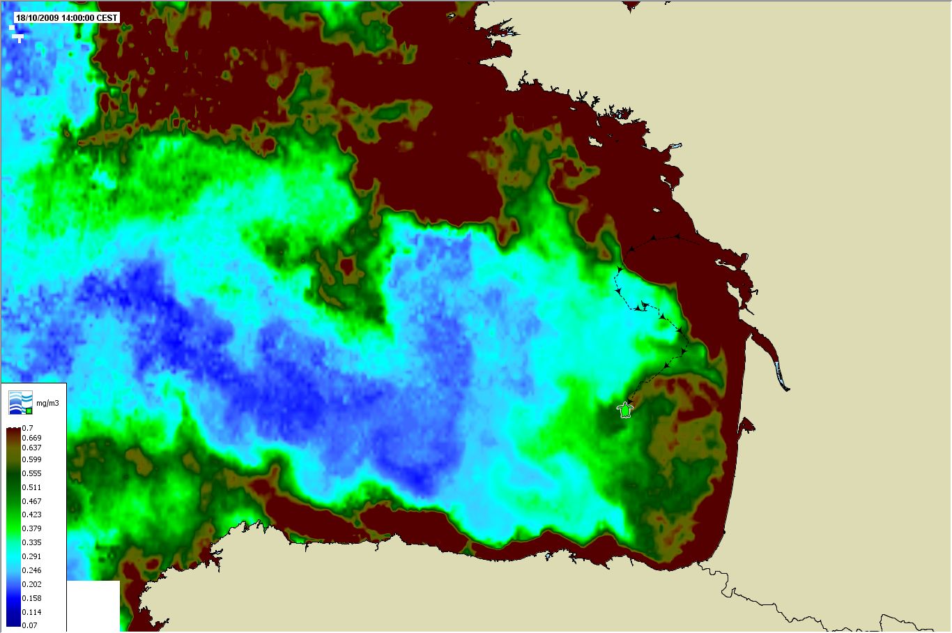
Reliable forecasting is vital for the global economy. Satellites provide a vital source of accurate, reliable and global measurements of sea state and ocean surface winds, sea level, SST, ocean colour and sea ice…
In particular, CLS has become an expert at merging data from different satellites, beginning with altimetry in 1992 and expanding to other observation systems. Our expertise in the field is recognized by the most exacting users, and is one of the trademarks of CLS.
CLS takes special care to quality-control the data within our team of oceanographers. Engineers and experts are dedicated to validate the data, correct and qualify it, and above all, always improve the processing and data quality.
Meteocean Data
Our selection of data
is wide and unique.
We propose a very wide range of metocean data, all in an homogeneous format, with the same access services:
- MOTU, our extraction service to choose a region, period, parameter within a dataset, and download it in one click or automated it via a script
- WMS for GIS and other online mapping,
- Tailored FTP with your own data provided in a dedicated account


